ArcGIS for AutoCAD 10.2

ArcGIS for AutoCAD is a free, downloadable plug-in application for AutoCAD
4.9 
Rating
Your vote:
Latest version:
10.2.5070 See all
Developer:
Environmental Systems Research Institute, Inc.
Screenshots
1 / 1
Request
Download
link when available

No specific info about version 10.2. Please visit the main page of ArcGIS for AutoCAD on Software Informer.

Comments

4.9
Rating
7 votes
5 stars
6
4 stars
1
3 stars
0
2 stars
0
1 stars
0
User

Your vote:

Related software

ET Surface for ArcGIS
rating

It is a set of tools for ArcGIS that enable the users to create surfaces.

ArcGIS Image Server AutoCad Client
ArcGIS Image Server AutoCad
Free
rating

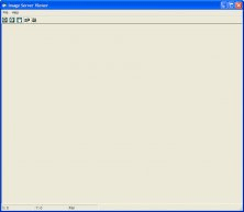
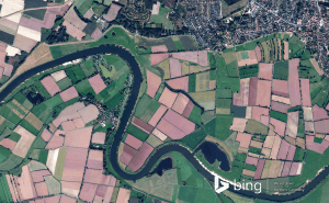
You can view an image service using various client applications.

Autodesk Autodesk AutoCAD Map 3D SP2
Autodesk Autodesk AutoCAD
rating

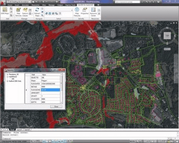
AutoCAD Map 3D is a model-based GIS and mapping software.

ArcGIS for AutoCAD 300
Free
rating

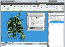
It is a plug-in that provides interoperability between AutoCAD and ArcGIS.

AutoCAD 2012 Model Documentation Object Enabler
AutoCAD 2012 Model Documentation
Free
rating

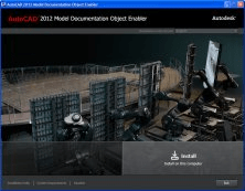
The object enabler permits only displaying of drawing views.

Related suggestions

Tags

Map layer Server map Cad drawing Snapshots Georeferenced